Sunday, October 28, 2012

Baby Won't You Drive My Car


Driving
After waving goodbye to Chalet Colinn and bagging Col de l'Iseran we drove to our next destination, the Hotel La Ferme de l'Izoard in the village of Arvieux in Queyras Regional Park. It was a three hour drive and required weaving our way about on Italian highways and mountain roads before scooting back into France. 

While the driving times in the Alps never sound very long, I'm quoting 'actual driving time'. However, 'perceived driving time' was much longer, maybe double, since I always found the driving to be somewhat hair raising. I'd say that a 3 hour drive aged me by about 6 hours. It was always worse when we had to finesse our way through towns, even small ones. For all of my years (ok, weeks) of studying french I still couldn't read many road signs. So entering even a small village could be a challenge. We eventually agreed that, as much as I did not want to drive anywhere near civilization (I was fine on the remoter mountain roads), Chris has superior navigation skills and since he could not look at maps and drive at the same time (unfortunate), we'd need to switch as we got closer to towns so that I drove while he navigated. 

On this day Chris drove all the way from Col de l'Iseran, through Italy, and back into France toward the town of Briançon, an 'old city' encased by a newer city with lots of activity and narrows roads and loads of little traffic circles. The upshot of those traffic circles was that if you got off on the wrong exit coming off the circle it would shoot you in the wrong direction and then god help you figuring out your way back. Unfortunately, we couldn't skirt around the edge of Briançon; we had to go right through the belly of the beast. We hit the town at rush hour. Luckily, we had a GPS to help us navigate. The GPS displayed the desired route on our iPad, and made announcements whenever it wanted us to steer the car in a certain direction. Unluckily, the GPS sometimes didn't really have a grip on our location. Like, it sometimes thought we were one road over from where we actually were; or, it would tell us to turn but it wasn't clear whether it meant that we should turn at the exit we just passed, or the one coming up. We learned early on not to trust it. So our conversations as we made our way through Briançon went something like this:

Ellen (driving toward a traffic circle): "What should I do?
Chris (navigating): "Hold on."
Ellen (about to enter traffic circle): "Which exit do I take!"
GPS: "Take 2nd exit"
Ellen (now in the traffic circle): "Is that true?!"
Chris: "No. Follow that car"
Ellen (in the traffic circle): "What car?! The blue one!?"
GPS: "Take next exit"
Chris: "No, ignore him. Yes, the blue car"
Ellen: "Here, here?!"
GPS (thinking we had missed its instructions): "Turn around"
Chris: "Yes, here"
GPS: "Turn around"

Chris is always calm in these situations but my blood pressure raises exponentially. By the time we made it through Briançon the tension in the car was palpable; at least, it was on the driver's side. The last circle was particularly troublesome (requiring a final split second decision) and when we finally cleared it I whooped and fist-pumped in elation. At the moment it seemed better than conquering any mountain pass by bike.

Once outside Briançon we headed back up into the mountains toward the village of Arvieux. We had two rides scheduled for this area: Col d'Izoard and Col Agnel. Izoard is frequently ridden in the Tour de France. The Agnel is much less well known. The road toward Arvieux took us along the same route as the north face of the Col d'Izoard, so we got a preview of it in the car. Ugh. We'd left behind green valleys and glaciers for....dirt. The higher we drove the more barren the landscape became, and not in a good way. Ugly. It put us in a funk. Our mood didn't improve when we descended the other side to find our hotel (ugly) in the town of Arvieux (ugly) surrounded by not less than 20 red and black Ducati motorcycles, which were in turn surrounding by a large group of Germans, all of whom seemed to be smoking. Apparently there was a tour group in town that was spending the week at our hotel. Not liking the scenery, the hotel, or the Ducatis, we immediately began planning our escape. We had not even entered the hotel lobby before we began scheming how to get out of our three night reservation in just one night. Fortuitously, the reservation I thought I'd made for three nights somehow ended up as only two nights. And then they didn't seem to mind that we wanted to bail out after just one night. Which we did. 

The early exit from Arvieux meant we'd have time for just one ride. I decided to use the next day as a rest day while sagging Chris in the car. Col d'Izoard had not looked appealing from the car and he really wanted to ride Agnel. So it was an easy decision. It was a great choice. None of the hype (or dirt) of Col d'Izoard, just pretty valleys and the place almost to ourselves.


Ride #8: Col Agnel
Chris: 13 miles (one-way), 4,450 feet climbed


La Chalps, prettier neighboring village just south of Arvieux.
Everything is better with a croissant.


Riding toward Col Agnel


Summit photo

From the top we drove down together back to the town at the start of the ride and ate lunch.


I didn't ride, but I still got to eat like I did


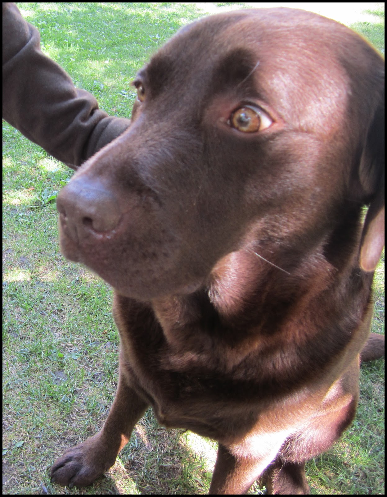
Resident restaurant dog, looking for a handout."Who's a Good Dog!"


Sunday, October 21, 2012

Moo-ving Right Along


Ride #6: Chalet Colinn
Chris: 7.5 miles, 1,802 feet climbed

Another rest day, another bike ride for Chris. On this day he rose before breakfast and cruised to the bottom of the road. At the bottom he turned around and rode back up past the Chalet Colinn to a dam further up the road. After breakfast, we drove up to the dam together to look around. Since I wasn't there to photograph his morning ride he did his best cycling impression.


Chris rides to the dam; Chalet Colinn on the left


Later that day we drove back up to the Col du Petit St. Bernard, this time taking a slightly different route than our bike ride a few days earlier. Plenty of my favorite subjects to photograph:


pretty girl

the twins

moving to greener pastures


Ride #7: Col de l'Iseran
Chris: 17 miles, 3,203 feet climbed
Ellen: 17 miles, 3,192 feet climbed


Finally it was time to say a fond "au revoir" to Chalet Colinn. Today we would drive a few valleys over to the Hotel La Ferme de l'Izoard in the village of Arvieux in Queyras Regional Park. But first, time for me to ride the Col de l'Iseran. Chris rode this mountain pass on our way to the Chalet four days earlier but was happy to ride it again. To get to the correct side of the pass, we backtracked in the car up and over the Col and drove down the other side to start the ride. 

This turned out to be my favorite ride of the trip. Grand vistas, green valleys, glaciers, and the perfect combination of distance and difficulty. 


Sunday, October 14, 2012

Rest Day

Col de la Lose
Ellen 'n Chris: 8 miles round-trip, 3,790 feet climbed, 5 1/2 hours

The day after Petit St. Bernard we took a rest day from cycling the only way Chris knows how, which is to say, we went on a hike. The start of the hike was a short drive from Chalet Colinn. It begins along the Gorges du Malpasse and peaks at the Col de la Lose on the border with Italy. It was a blue sky day, about 75 degrees, which in the Alps at high altitude and with No Shade Anywhere translates into Really Hot. I thought it was just me being a whiner but later that evening, back at Chalet Colinn, the Kuwaiti, who'd gone on a hike that day with his new bride, complained repeatedly about the heat. Which I thought was pretty interesting given that it's like 130 degrees in Kuwait in summer. When we asked him about that he said, yeah, but everything is air-conditioned. They run from one air-conditioned place to another. So they aren't acclimated to it. Another myth debunked.


starting up the trail; Gorges du Malpasse


the only shade on the entire hike; marker is for British soldiers who died in WWII


at the top


this is the, 'hey, let me stand really close to the edge while you take my picture', picture
(Chris is the dot on the left)


they build their trail markers big here


the owner told us it was okay to drink from this;  you'll believe anything when you're thirsty

back at the trailhead


Sunday, October 7, 2012

Israelis, Kuwaitis, Germans, Oh My


After four nights in La Grave it was time to move on. Our next stop was the Chalet Colinn a few valleys over near the ski resort town of Val d'Isère. On the drive there we went over Col du Galibier again, but this time by car. Hmm, driving is a lot easier.

road snaking up to Col du Galibier


Ride #4: Col de l'Iseran
Chris: 17 miles, 3,953 feet climbed
The drive to Chalet Colinn also meant we'd drive over one of the other cols on our ride list, Col de l'Iseran. It was supposed to be a 'rest day' but the closer we got to the climb the more agitated Chris got. When he couldn't take it anymore I dropped him off and he rode to the the top while I scrambled to find him water. At the top we drove together down the other side. We'd ride Iseran again together in a few days. 


happy to be back on his bike


the obligatory picture at the top


Chalet Colinn
Chalet Colinn is a few miles outside the ski town Val d'Isère. It's owned by two women who built it from a pile of rocks that was all that remained of an old building. Their 'village' consists of the Chalet, a neighboring farm house, and a small chapel. Their web site says, Upon arrival in the village you will be greeted by only the traditional odours of sheep, cattle, hay and wood smoke. That was about right. 


Les Franchets, village of Chalet Colinn

Chalet Colinn

The Chalet has five bedrooms and guests eat dinner together at a common table. Each evening began with appetizers and wine followed by a traditional french meal including a cheese plate after the main course and before dessert. The first night the cheese plate caught me off guard. I'd stuffed myself already and had no more room so I picked at the cheese just to be polite. Then I had to skip dessert. After that I was careful to pace myself so that I could successfully eat all of the courses. By our fourth night I was a pro.

Initially I was leery of a B&B where guests ate dinner together. Too many mornings spent at B&B's in the U.S. where forced morning conversation between guests was drudgery. But it turned out to be a really fun part of the trip. Our hosts navigated between French and English to accommodate their french and non-french speaking guests. Most guests stayed multiple nights so we got to know each other a little The oddest moment was when I found myself seated between a Kuwaiti and an Israeli. I wasn't sure how that was going to turn out but, like so many other introductions, it ended in with the exchange of email addresses. World Peace. Problem Solved.


Ride #5: Col du Petit Saint Bernard
Ellen: 27 miles, 4,163 feet climbed
Chris: 27 miles, 4,035 feet climbed

The next day we rode the Petit St. Bernard. This ride has two options. Begin in a small, quaint village with a narrow road that points straight up, or start in a larger less interesting town with a wider road that has a gentler grade but is more crowded with cars, cyclists, tourists. The two roads converge about 5 miles from the top. Since I never knew where we were going (I admit, I paid no attention and let Chris pick all the routes; it's sort of like having a tour guide that does all the work for you) I followed Chris to....yup, the small village with the narrow road that point straight up. The first few miles were very steep. It was a very hot day. It's possible I swore a little.


reward at the top; coca-cola; it's the same in any language

one of many jambon baguettes that we enjoyed; oh, yeah, and frites


woof

Chris and his little friend, for the ride down

descent